The map of Melbourne, building by building.
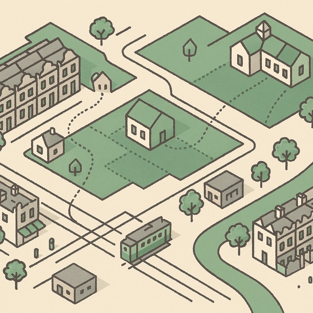
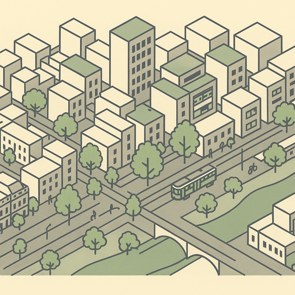
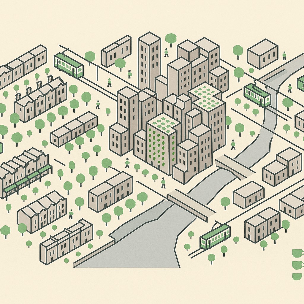
Pixel Melbourne is an interactive isometric map of inner Melbourne — the city drawn as a pixel world, every building extruded from real data, every business inside it on a card. From the Hoddle Grid's towers to Fitzroy's terraces and the St Kilda foreshore: wander the map to find your next favourite spot, or put your own business on it.
The map that knows the city
Pixel Melbourne is more than a business directory — it's the whole city, layer by layer, from open data nobody else stitches together. Trams, trains and stations; parks, playgrounds and public toilets; heritage buildings and named laneways — all drawn on the one map, with honest walking times between them. Open the map and switch the layers on.
The city's layers, as pages
From the blog
Own a Melbourne business?
Your business is probably already on the map. Claiming is free and takes a minute — a “Profile verified” badge, photos, opening hours and priority placement.